So, this job title is majorly futuristic-sounding, but relax—you’re not going to be turned into RoboCop or a Terminator. It’s pretty cool stuff, though. “Remote sensing” means you’re collecting data about places on Earth using information gathered from satellites and high-altitude planes. As a scientist, you then examine this info to produce maps or graphics or 3D animations of those places. Essentially, you’re a super-scientist, as you have advanced knowledge of geography, mapmaking, and computer science. You’ll lead a team of technicians who gather the info, then you’ll prepare and give reports on your findings. You might work for the government, engineering firms, or environmental agencies. Just be prepared to flex your brain, because spending at least six years in college is your map to a very successful career (and the coolest job title to drop at parties, of course).
The Details
Master's Degree
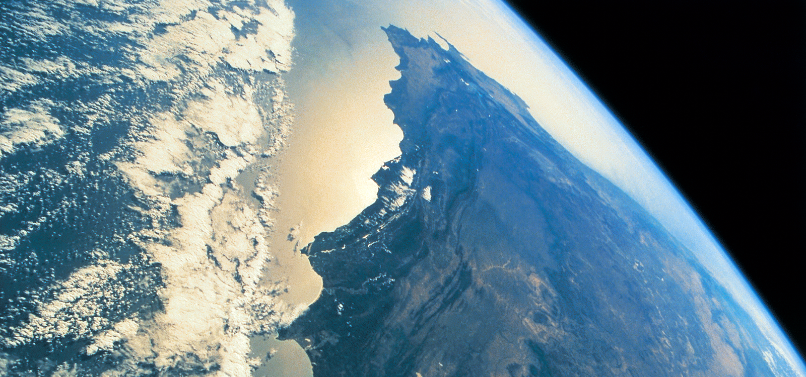
By using remote sensing technology to very accurately map the terrain of the planet, scientists help governments better predict and prepare for major disasters like floods, earthquakes, and tsunamis.
Remote sensing actually began with the invention of the camera more than 150 years ago—the first photographs taken of the Earth’s ground from above were from cameras that were tied to balloons.